The Project
Project Overview and Design
Lime Down Solar Park is a proposed utility-scale solar park and battery energy storage project on land in Wiltshire.
The project would comprise the installation of solar photovoltaic (PV) panels and an on-site battery energy storage system (BESS). It would also include an underground cable connection to the national grid at Melksham Substation, ensuring that the renewable electricity produced can be made available to homes and businesses locally and across the UK.
Subject to being consented, the project is anticipated as having a generation capacity of approximately 500MW. This is equivalent to providing enough clean affordable electricity to power 115,000 homes annually.
Supporting the UK's energy transition
The way we consume energy is changing. The move towards renewables and the transition away from fossil fuels is an environmental and economic necessity. National electricity demand is increasing and expected to double by 2050. Increasing our solar energy capacity is therefore essential if the UK is to hit its target of achieving net zero carbon emissions by 2050 while also meeting demand.
Solar power is a clean, homegrown source of energy that gets power into the system and people’s homes faster than any other renewable technology. The Government’s Clean Power 2030 Action Plan, published in 2024, sets out the target to more than treble solar power by 2030, equivalent to around 50 gigawatts (GW) of generation capacity.
Expected to deliver clean and affordable energy, the project would contribute to the Government target to deliver a cheaper, zero-carbon electricity system by 2030 and accelerate to net zero.
Site selection
One of the key factors influencing the location of Lime Down Solar Park was the availability of a grid connection at Melksham Substation. Once a point of connection was established, various land parcels within a 20 km radius of Melksham Substation were considered against a range of technical, environmental and economic factors.
The five Solar PV Sites were selected based on a number of considerations, including their suitability for solar energy generation, proximity to one another, land availability and accessibility. Other factors included agricultural land quality, topography, flood risk, landscape and ecological features, heritage assets and proximity to residential properties.
The site selection process was supported by further environmental and technical assessments, with the design subsequently refined through consultation and engagement with local communities and stakeholders.
For further information about how the land was selected and the alternatives considered, please see Environmental Statement Volume 1, Chapter 4: Alternatives and Design Evolution.
Location
The solar park would be located within five land parcels; Lime Down A, B, C, D and E – collectively referred to as the “Solar PV Sites”. The scheme also includes the land needed for interconnecting cables and the proposed underground grid connection to Melksham.
Lime Down A – east of Commonwood Lane.
Lime Down B – east of the Fosse Way.
Lime Down C – across the Fosse Way to the east of Alderton.
Lime Down D – north of the Great Western Railway line and Hullavington, south of Bradfield Wood.
Lime Down E – south-west of Rodbourne, and south of Corston.
In addition to electricity-generating equipment, the Solar PV Sites would include space for landscape planting, habitat creation and other proposed mitigation and enhancement measures. The detailed extent and layout of the submitted scheme can be viewed in the application plans.
Interactive project map
The interactive map below allows you to search for a location and see how it relates to the proposed Solar PV Sites and Cable Route Corridor.
This map illustrates the proposals as they stood at the start of Examination in April 2026 and may therefore not reflect changes made during Examination.
For the latest submitted plans and drawings, please visit the Planning Inspectorate's Lime Down Solar Park documents page.
Click the fullscreen option on the indicative Project Map to enlarge.
The core components of the solar park include:
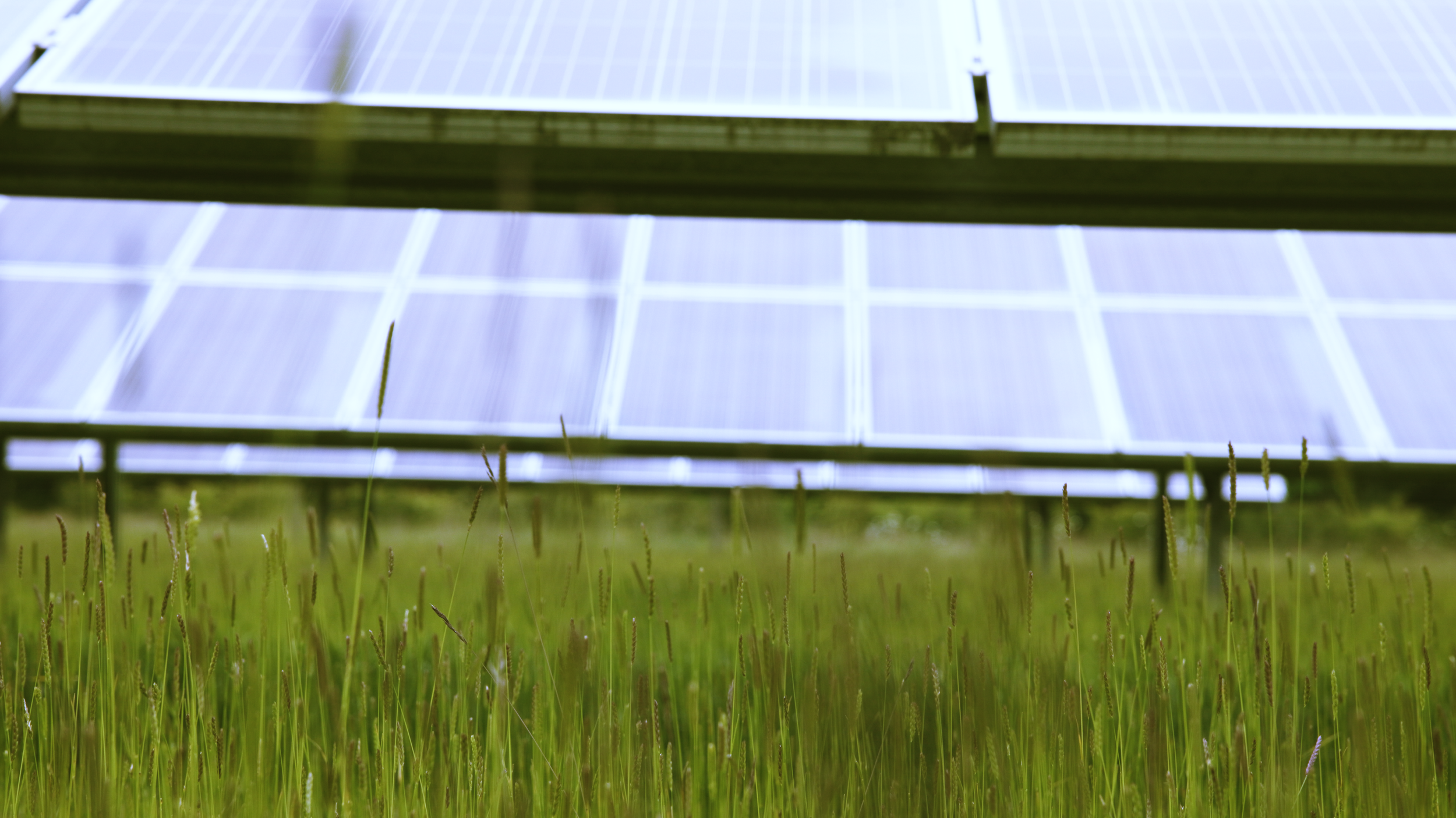
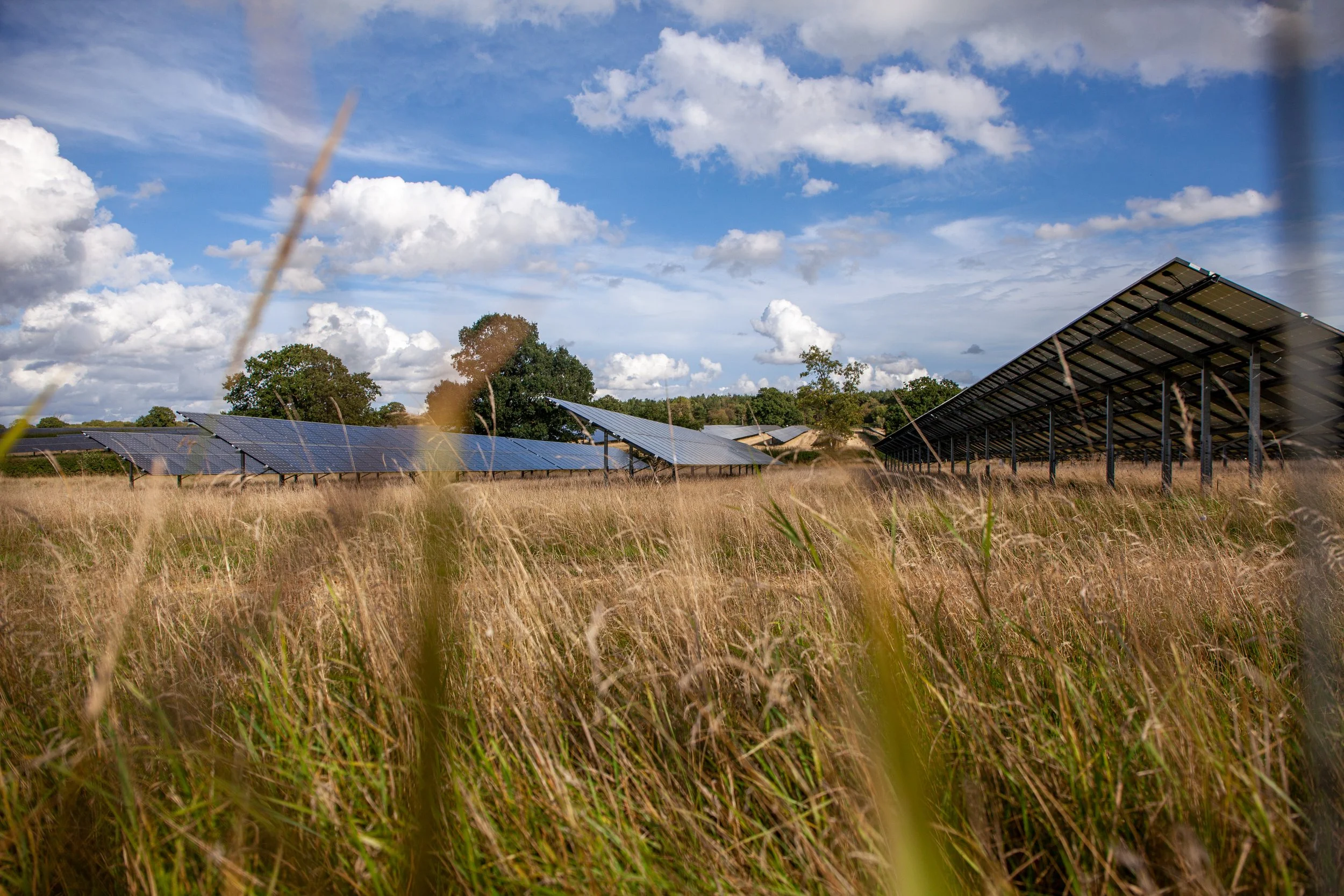
Solar PV panels: converting sunlight into electricity. We anticipate using a combination of fixed panels (up to 3.5 metres high) and tracker panels that follow the sun. Tracker panels would be up to 2.5 metres high when flat and 4.5 metres when tilted.
Solar PV mounting structures
Inverters: converting the direct current (DC) electricity generated by the panels into alternating current (AC). AC electricity is what powers homes and businesses.
Transformers: to increase the voltage of the electricity so it can be exported to the national grid.
Switchgear: to manage the flow of electricity and direct it to where needed.
Energy Storage System: on-site storage facilities – known as a Battery Energy Storage System (BESS) - would provide an important balancing service for the national grid. The BESS would store electricity generated by the solar PV panels at times when demand for electricity is low, with it then being exported onto the electricity transmission system when demand peaks. It could also be used to import and store electricity from the national grid until it is needed.
On-site cables: to connect the solar panels and the battery energy storage system to the inverters, which in turn connect to the transformers. Higher voltage cables would be required between transformers and switchgear and from switchgear to the off-site electrical infrastructure.
Grid connection cables: providing the connection between the on-site substation and Melksham Substation to export the electricity generated by the solar PV panels onto the national grid.
On-site substations: to export electricity from the solar park to the national grid, ensuring it is accessible for public use. The substations would include a control building with welfare facilities.
Fencing: comprising deer wire and mesh and wooden posts to enclose operational areas of the site, with pole-mounted, internal-facing CCTV systems around the perimeter.
Site access: to be used during construction and for routine maintenance when the project is operational, there would be designated entry points to allow safe access to different areas within the solar park.
New planting: new planting, landscaping and biodiversity measures across the site and around the perimeter to enhance biodiversity and improve the landscape - for example, planting new trees and vegetation.
Construction compounds: during construction, temporary construction compounds and temporary roadway accesses would be required to enable access to the land within the Site.
Connecting to the grid
The electricity generated by Lime Down Solar Park would be exported to the national grid via underground electricity cables, connecting to National Grid's existing Melksham Substation, approximately 22 kilometres (km) south of the Solar PV Sites.
Building the connection
The connection between the solar park, battery energy storage system (BESS) and Melksham Substation would be constructed using underground cables. No pylons or overhead lines are proposed.
The trench for the underground grid connection cables would be up to approximately 1.7 m wide and 2 m deep. Once the cables have been installed, the land would be restored, although some restrictions may be required to protect the cables from disturbance or damage.
Development of the cable route
The proposed cable route was developed and refined through technical and environmental assessments and consultation with local communities and stakeholders.
During Stage One consultation in March and April 2024, we presented three broad cable route corridors for consideration. Following further assessments, a preferred Cable Route Search Corridor covering approximately 1,947 ha was identified and presented during Stage Two consultation between January and March 2025.
In June 2025, we provided an update to local communities on the preferred cable route as we continued to refine the proposals ahead of submitting our Development Consent Order (DCO) application in September 2025.
The corridor was subsequently refined to approximately 463 ha, taking account of technical and environmental considerations, including the need to avoid sensitive features where practicable.
For more information about the earlier proposals and consultation undertaken, please visit our Consultation page. Historic maps and consultation materials can also be accessed through our Documents page.
The Cable Route Corridor
The proposed Cable Route Corridor extends south from the solar park, crossing the M4 near Sevington, passing to the east of Yatton Keynell and crossing the A420 east of Corsham, before continuing towards Melksham Substation.
The proposed Cable Route Corridor covers approximately 463 hectares (ha) of mainly agricultural land. It is generally 50 metres (m) wide, increasing to up to 665 m in certain locations to accommodate construction activities or provide flexibility to avoid features such as trees, hedgerows and field boundaries.
A cable route corridor is a defined area of land within which the underground electricity cables would be installed. Although the corridor is wider in some locations, the typical construction working width for installing the cables would be approximately 25 m.
Our Design Principles
The design of Lime Down Solar Park has developed through technical and environmental assessments, site-selection work and feedback received through consultation.
To guide this process, we developed a series of design principles based on the requirements of national and local planning policy and the specific characteristics and features of the site.
These principles have helped shape the proposals, with the aim of maximising the outcomes and value that the project could provide, delivering benefits to communities and controlling any adverse effects on the local environment throughout the lifecycle of the project – from construction through to operation, maintenance and decommissioning.
| Landscape led design | The design has been landscape led, with the aim of protecting the intrinsic character and beauty of the surrounding countryside and enhancing the landscape through appropriate screening and siting of infrastructure to minimise effects. |
| Mitigation hierarchy | We have followed the mitigation hierarchy in developing the proposals, seeking to avoid impacts on sensitive receptors wherever possible. Where impacts cannot be avoided, measures have been proposed to minimise, remedy or compensate for them. |
| Net gain | We will deliver more than 10 per cent net gain for biodiversity by creating and enhancing habitats for local wildlife and managing grassland to maximise ecological value. |
| Flexibility, resilient resources, climate change | The design incorporates flexibility to allow the project to adapt over time to new technological advancements and a changing climate, including building in resilience against extreme weather events. |
| Site layout design | The layout of the project has been designed to minimise, wherever possible, impacts on local communities during construction, operation and decommissioning. |
| The water environment | The project has been designed to ensure that flood risk is not increased elsewhere. Measures have also been incorporated to ensure the project is resilient to current and future flooding risks. |
| Heritage | The proposals include setbacks, buffers and screening in appropriate locations to minimise harm to heritage assets and their settings. Where archaeological assets have been identified, the design has sought to avoid them. |
| Land use | The design has sought to be sensitive to existing land uses wherever possible and maximise opportunities to strengthen and reinforce existing green infrastructure (natural/environmental areas) and blue infrastructure (water bodies/features). This includes measures such as connecting isolated trees and filling gaps in hedgerows. |
| Recreation and access | We aim to limit impacts on public rights of way, local recreation and access as much as possible. Improvements to walking routes, footpath networks and permissive paths have been explored, alongside enhancement measures for walkers, cyclists and horse riders. |